Airspace Security · 21 July 2026
Europe's Airports Keep Closing. Authorities Keep Finding Nothing. The Problem Is Not the Drone.
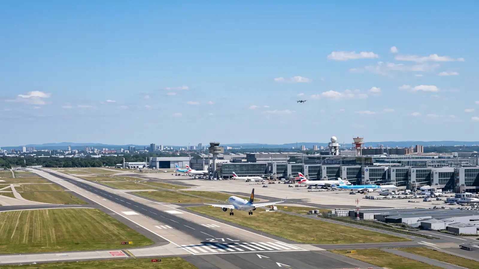
On 30 May 2026, Munich Airport halted all flights for nearly an hour after two pilots independently reported a drone near an approach path. Over 20 aircraft were diverted. Police launched a ground search. They found nothing.
Ten days earlier, something far more serious happened. On 20 May 2026, Lithuania declared a national air-raid alert. Residents of Vilnius were evacuated. Trains were stopped. NATO jets were scrambled. Vilnius International Airport was shut down — after radar tracked a drone crossing the border from Belarus. NATO Secretary General Mark Rutte publicly addressed the incident. Multiple analysts described it as the most consequential drone-triggered national emergency in any NATO member state since Russia's invasion of Ukraine.
Two incidents. Two countries. The same underlying problem.

A Threat That Is Surging Across Europe
These are not isolated events. AeroTime, tracking European infrastructure incidents, has described the drone threat to the continent's airports and critical sites as now “surging.” The pattern is consistent: a drone appears, operations halt, authorities respond — and in most cases, they leave without knowing what the drone was, who sent it, or why.
Munich left no trace. Vilnius left a geopolitical crisis. The difference in severity reflects the difference in origin. But the gap in what authorities could answer in real time was identical in both cases.
No-Drone Zones Are Not Force Fields
Airports sit inside some of the most heavily regulated airspace on the planet. Yet a no-drone zone is a legal boundary — not a physical barrier. It allows authorities to prosecute after a violation. It does not prevent entry.
Modern drones compound this. Cellular connectivity, satellite navigation, and autonomous flight allow them to operate far beyond the operator's immediate location — or without a human operator at all. In both the Munich and Vilnius incidents, the drone was tracked. The operator was not found.

Detection Is Not the Hard Part
Sensor technology has advanced significantly. Radar, RF detection, thermal cameras, and Remote ID receivers can now reliably answer one question: is something there?
But the questions that actually matter are harder:
What is it?
Who is operating it?
Where did it come from?
Is it authorised to be here?
Does it pose a threat?
These are not technical questions. They are intelligence questions. And shutting down an airport — or scrambling NATO jets — every time a blip appears on a sensor, without the ability to answer them, is not a security posture. It is an information failure.
The Infrastructure of Trust for the Low-Altitude Sky
Aerial Grid was built to answer these questions.
SkyRadar is a distributed mesh of sensor nodes that covers entire urban districts — not single perimeters — simultaneously detecting both cooperative drones that broadcast Remote ID and non-cooperative silent drones that do not. The result is continuous airspace coverage at city and corridor scale.
SkyGrid, the central command platform, fuses all sensor data into a single real-time airspace picture. Every detected object is cross-referenced against known flight plans, operator identities, and Remote ID data. Security teams see not just that something is present, but who it is, whether it is authorised, and what it is doing — with audit-grade forensic logging for every event.
The outcome is not faster reaction. It is fewer unnecessary reactions — because operators can distinguish a known commercial drone from an unknown border-crossing intruder before they shut down a runway or declare a national emergency.

Europe's Airspace Problem Has a Name
The recurring pattern across Munich, Vilnius, Helsinki, and dozens of other European airports over the past 18 months is not a coincidence. It is evidence of a structural gap: the ability to detect has outpaced the ability to understand.
Aerial Grid closes that gap. Not by building a stronger fence. By building the intelligence layer that makes the entire low-altitude airspace visible, verified, and accountable.
Because the question was never whether a drone is there.
The question is: do you know what it is — and what to do about it?